Masterplanning
“A good masterplanner possesses a blend of visionary insight, technical expertise, and empathetic understanding of the communities they serve.”
Bluepencil have extensive experience of navigating complex planning challenges, balancing competing interests, and finding creative opportunities to enhance the quality of life for future residents through their designs. This has resulted in an outstanding record of planning success.
They approach their work with humility, curiosity, and a commitment to collaboration, recognising that the best solutions emerge through inclusive dialogue and collective problem-solving. Above all, they are driven by a deep sense of stewardship for the built environment, striving to create places that are sustainable, resilient, and enriching for generations to come.
Bluepencil masterplans are unique because they are also valuable, data-rich, interactive models that have a long and useful purpose, generating a wealth of information early on in the design process and enabling a smooth transition from design to delivery.
Data-linked Masterplans
Dynamic models integrated with information
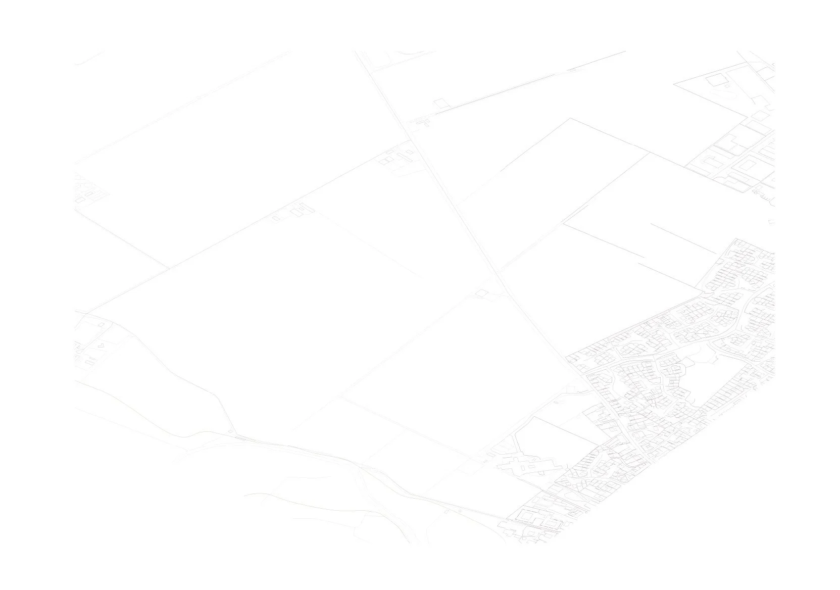
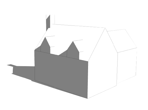
Masterplanning - Base Information
The OS base.
This is placed into the 3D model as the starting point.
1
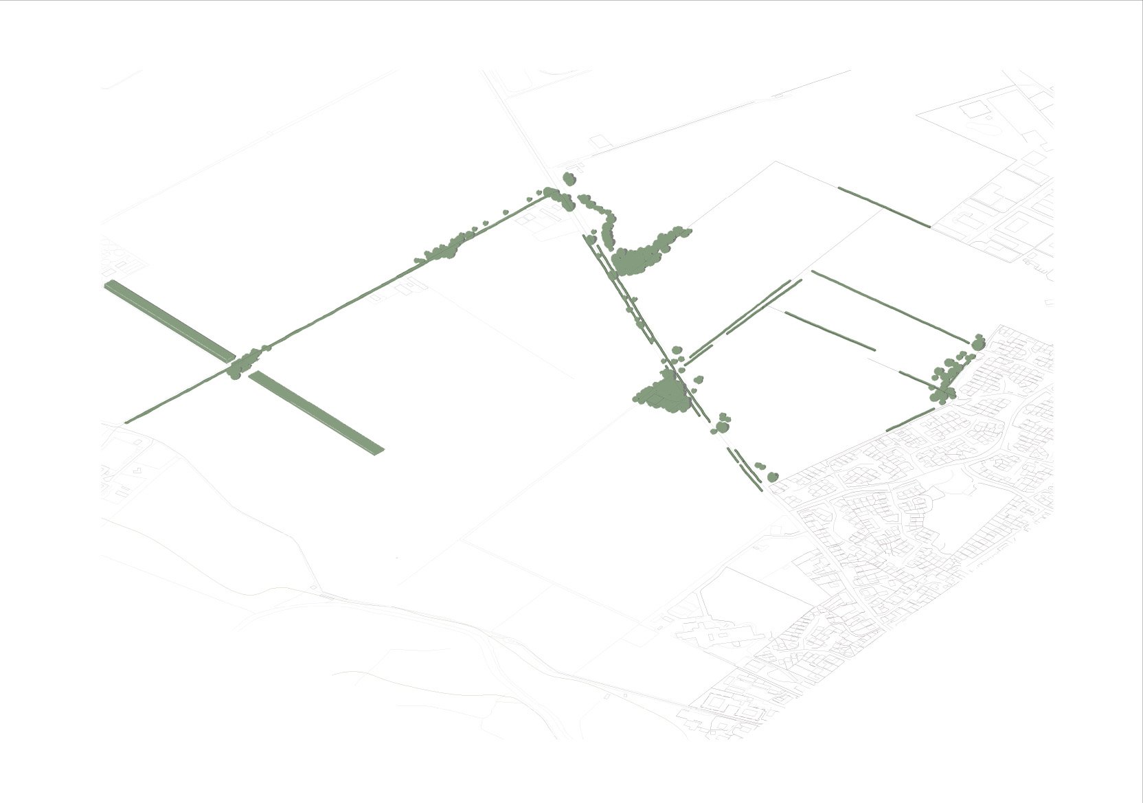
Existing Landscape
The existing trees, hedgerows and features of the site are modelled.
Phase 1 of the development (already constructed) is modelled.
2
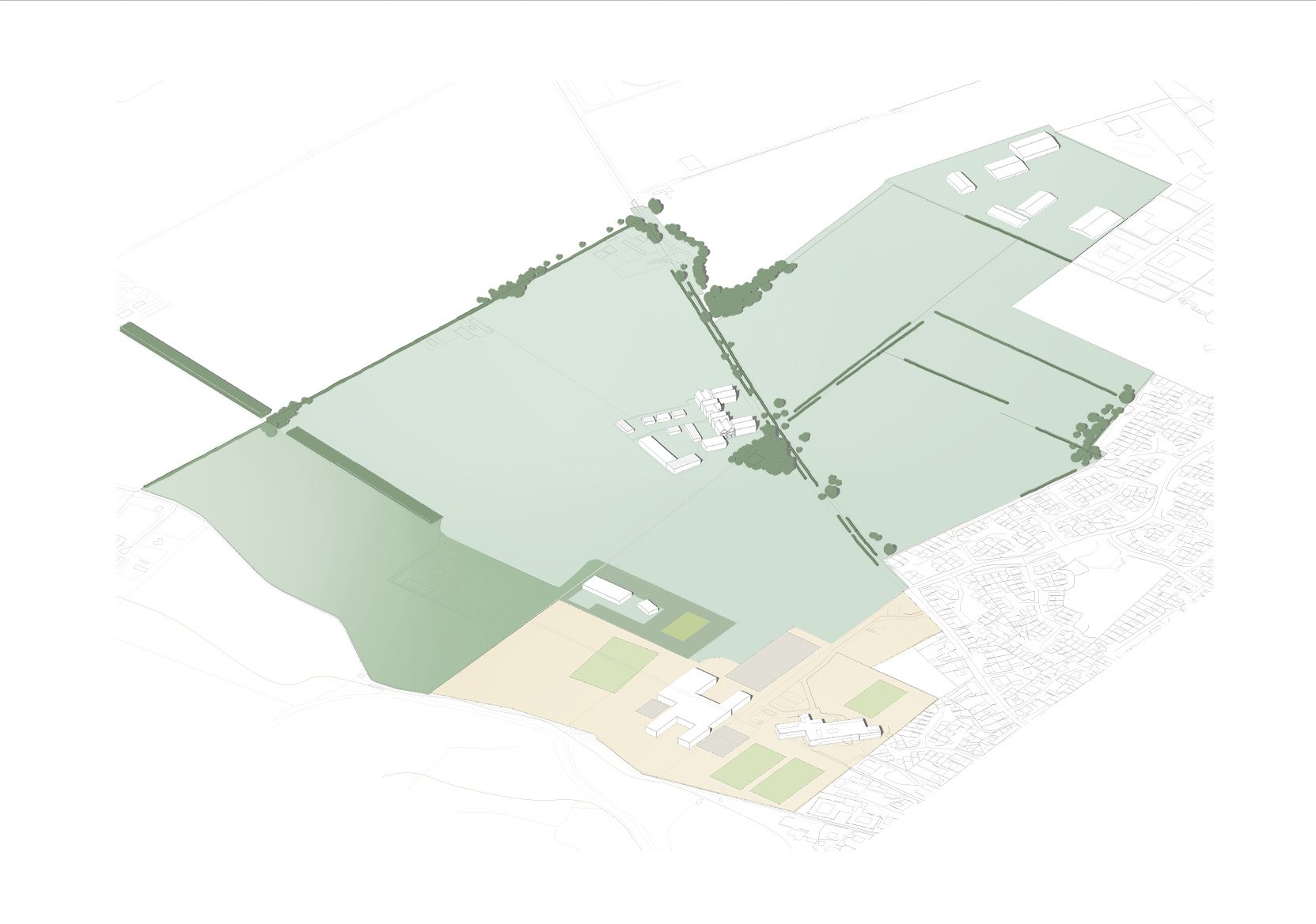
Land Use
The different land uses, taken from the Land Use Parameter Plan, are drawn and the building volumes are modelled
3
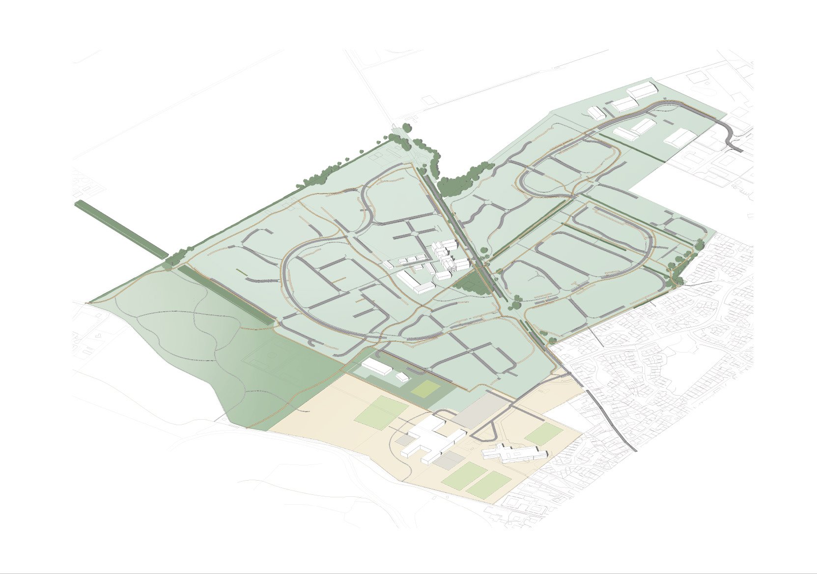
Movement Infrastructure
Roads, Cyclepaths and Footpaths and combined footpath cycleways are modelled. Their positions are set in the Access and Movement Parameter Plan. They are drawn to the exact dimensions required by the local authority and all roads are vehicle tracked for compliance.
4
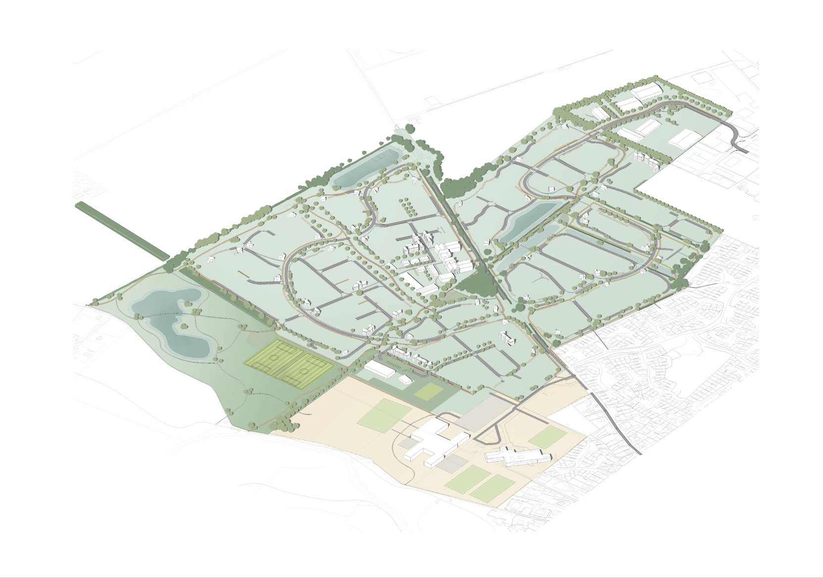
Green Infrastructure
The landscape is modelled from the Green Infrastructure Parameter Plan.
It includes public open space, A SANG (suitable Alternative Green Space), Sports pitches, trees and hedges. It also includes the detention basins, swales and ponds that are part of the surface water drainage system.
5

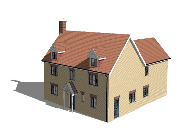
Key Buildings
The Key buildings are modelled and placed at junctions, end of vistas and at important corners. These are the buildings that will help navigate the development and give it a unique character and sense of place. They will be recognised by their scale, height or mass, special details and or materials. These buildings will have carefully considered boundary treatments.
6
Streetscape
The streetscape is modelled with care to create the ‘spaces between the buildings’. They enclose space or overlook open space. The scale height and massing of the buildings within the streetscape will contribute to the character of the place. The streets are designed as compositions in their own right.
7

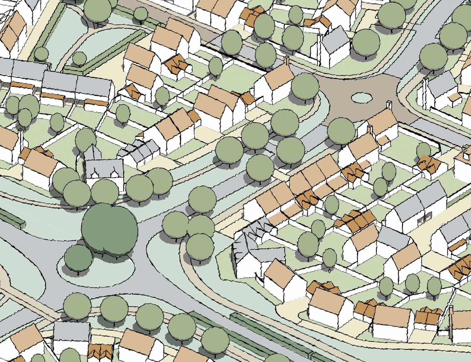
Complete Design
All the other buildings are modelled. The whole development must meet the parameters set in the Density and Storey Height Parameter Plans and the Design Guidance set out in the approved Masterplan which includes requirements for character and placemaking.
8

Finer Details
The final details are added to the model, including driveways, junctions, gardens, hedges and garden trees. The model is now complete for the purpose of an outline planning application. It is illustrative only and shows how the development could be designed within all the parameters set in the application. However it has many more uses…
9

Data Link
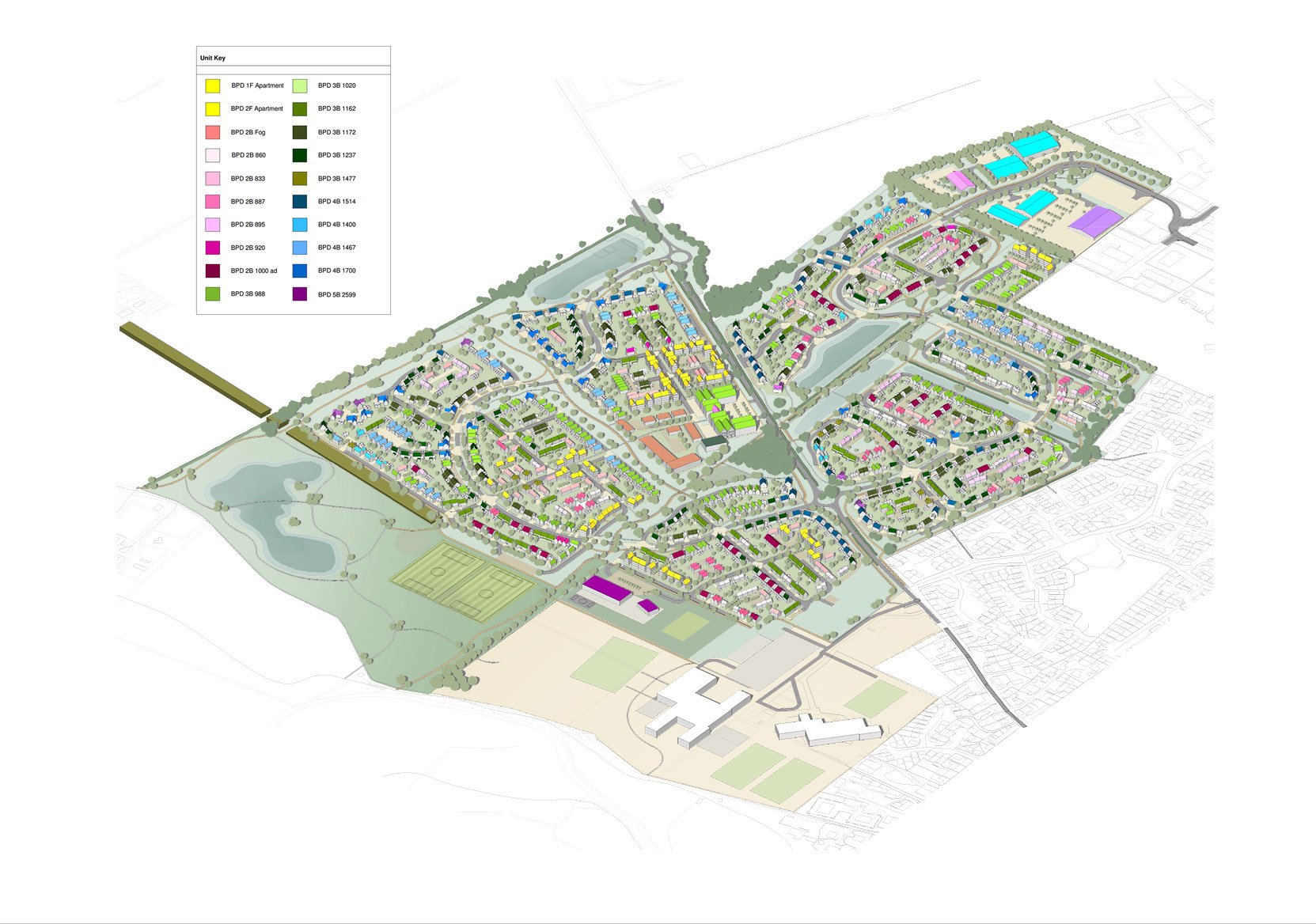
All the houses modelled in 3D are also colour-coded and are packed full of data which is attached to various schedules. This data is useful for different parties at different times. It allows landowners and developers to make accurate appraisals based on the quantities and properties shown on the schedules. It is useful to local authorities and town planners who can use the model as a dynamic asset to check future reserved matters planning applications as they come forward.
The colour coded layout enables us to see where the different typologies are in terms of number of beds.
Apartments - yellow // 2 bed houses - pink // 3 bed houses - green
4 bed houses - blue // 5 bed houses - purple
Colour coding helps assess the value of the site, the density and mix for each parcel and character area.
10
Integrated Data Models
Each model contains a complete set of planning drawings
Data Integration
Every house type is modelled and colour coded
Made intelligent by adding data
Colour coded model
Representing the number of bedrooms

Data Linked model
Number of Bedrooms
Number of Habitable rooms
Garden Sizes
Parking Requirements
GIA sq ft/m2
Client Data added as required
Build cost / m2
Sales Value / m2
Quantities
Additional information as specified
A fully accurate unit schedule can be reviewed at any stage of the design process


Full final detailed model
Each model contains a complete set of planning drawings